
MEXICO
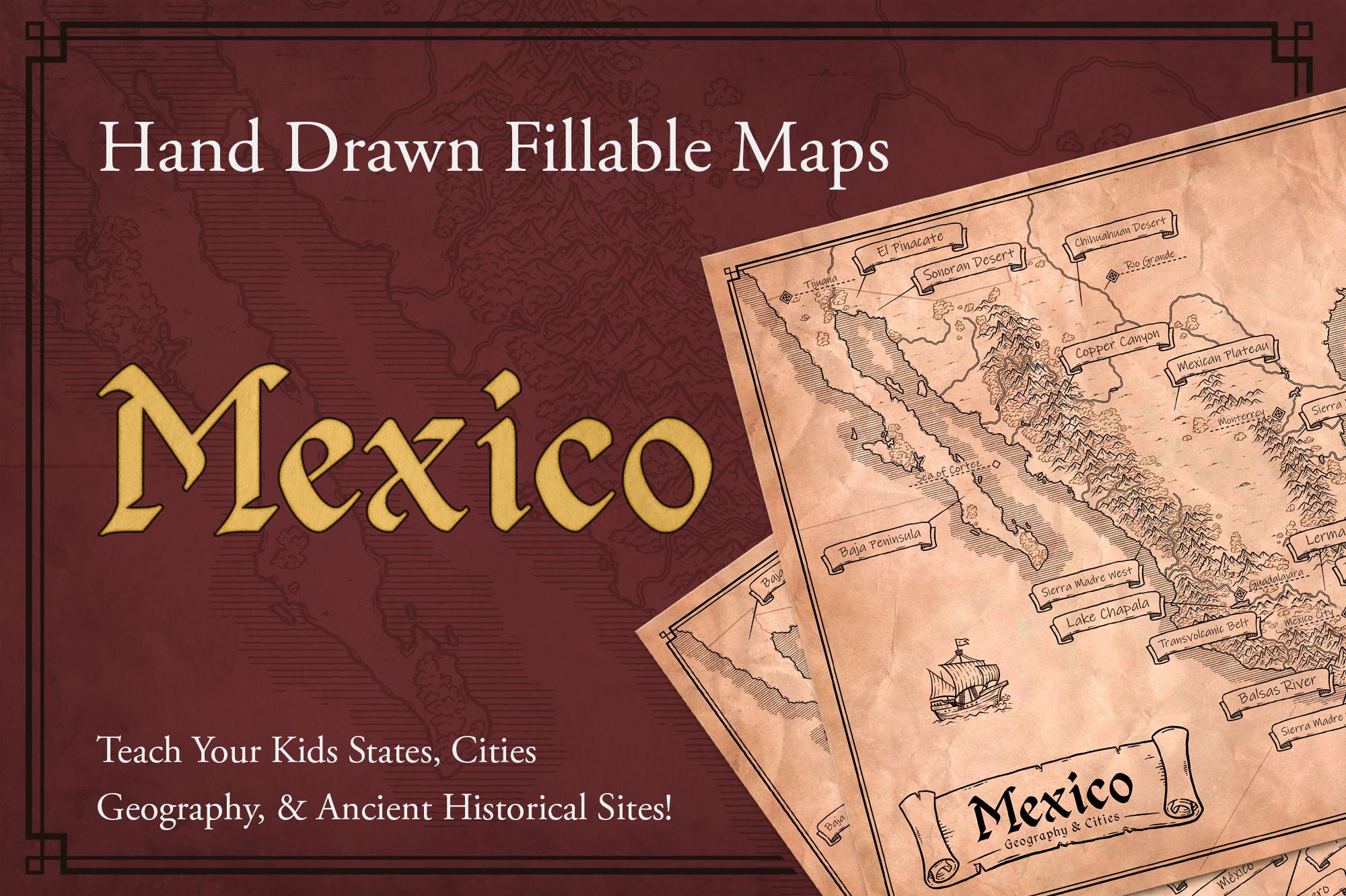
Hand Drawn Fillable Map to Teach Your Kids States, Cities, Geography, & Ancient Historical Sites!
-2.jpg)
.jpg)

.jpg)

.jpg)
$4
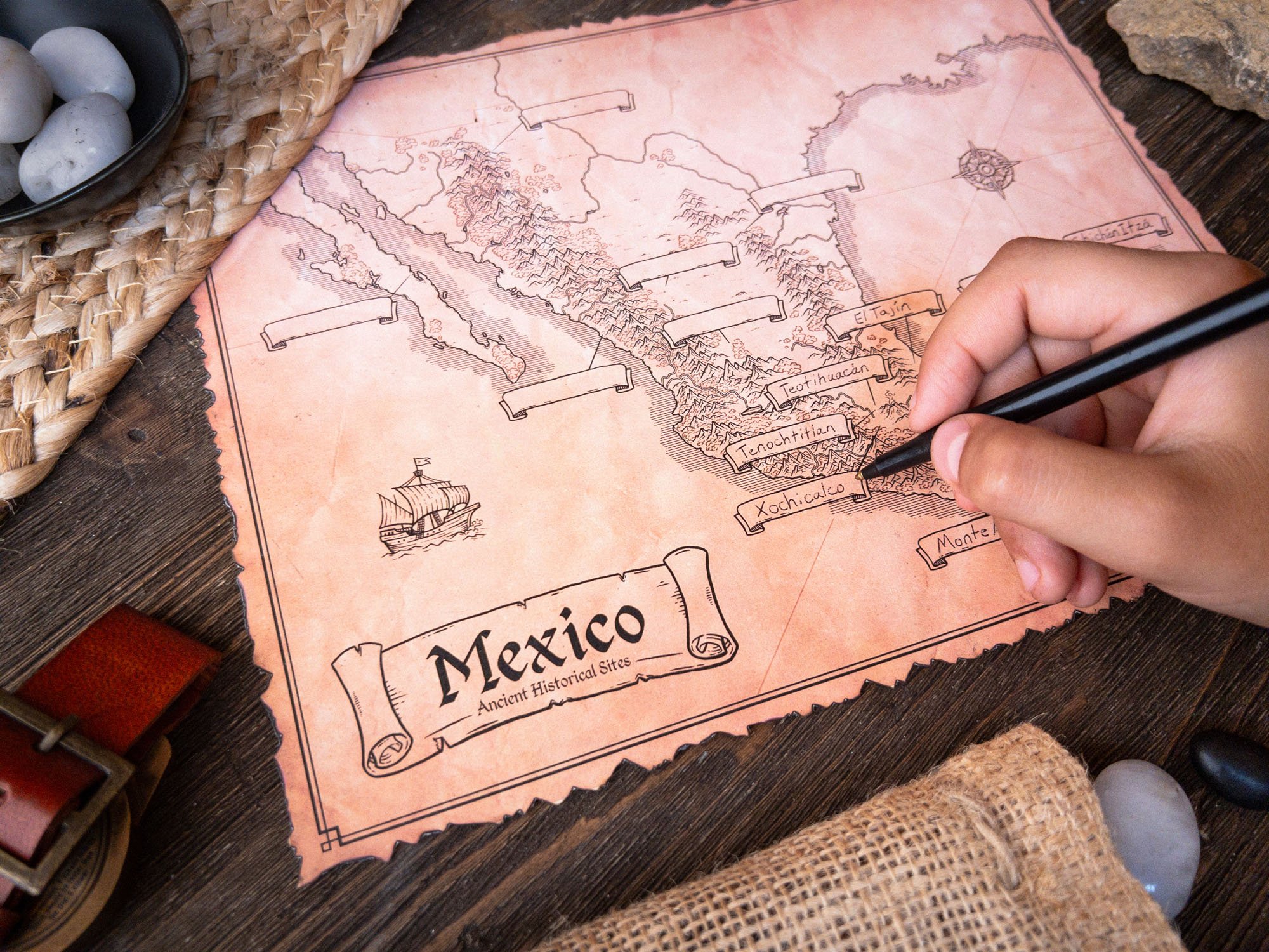
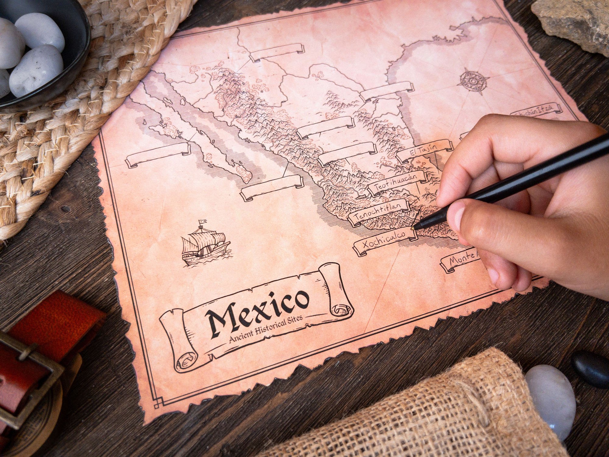
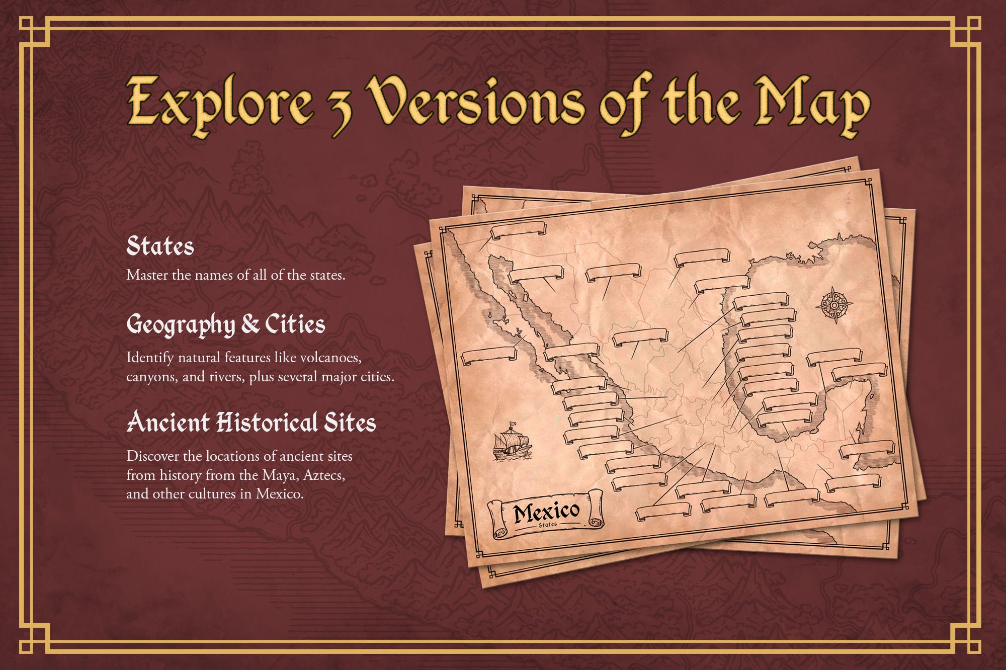
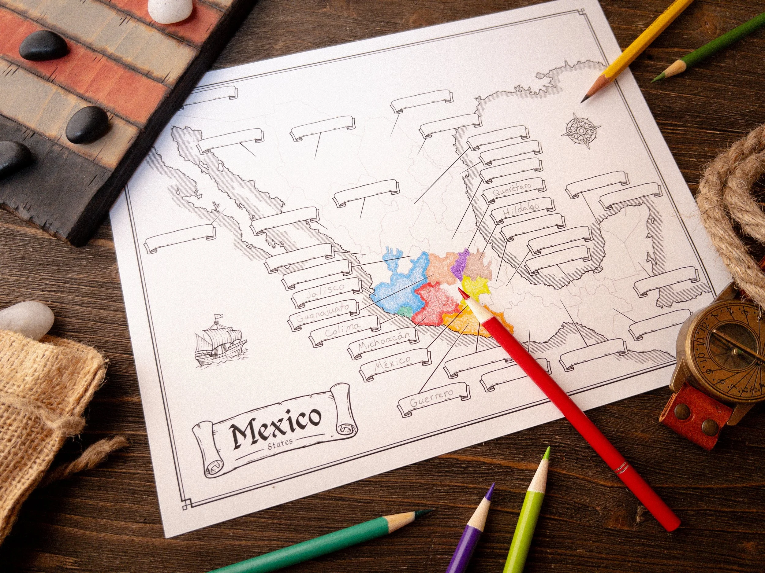
Turn geography into an epic quest! Your kids will explore the wonders of Mexico. Its wild rainforests, dramatic volcanoes, and mysterious ancient cities like Calakmul and Tenochtitlan with hand-illustrated maps they can color, label, and make their own. These maps transform learning into a fun, hands-on adventure, sparking imagination and a deeper love for Mexico’s rich culture. Featuring three unique versions, this set sparks curiosity and cultivates a lasting love for Mexico’s vibrant culture and history.
As a homeschool parent who has always loved geography, history, and art, I was consistently disappointed by the maps in the curricula we used to teach our kids. Fortunately, one blessing of homeschooling is that I could do something about it. My kids enjoyed it so much, and I saw a new spark for learning ignite in them, that I decided to create this product to share with you. I pray it does the same for you and your family.
- Josh Stolarz
Here’s What You Will Get
3x High Resolution PDF Maps - Print Size 8.5x11” - Actual Size 17x22” 300dpi
States Map - Blank & Answer Versions
Geographic Features & Cities Map - Blank & Answer Versions
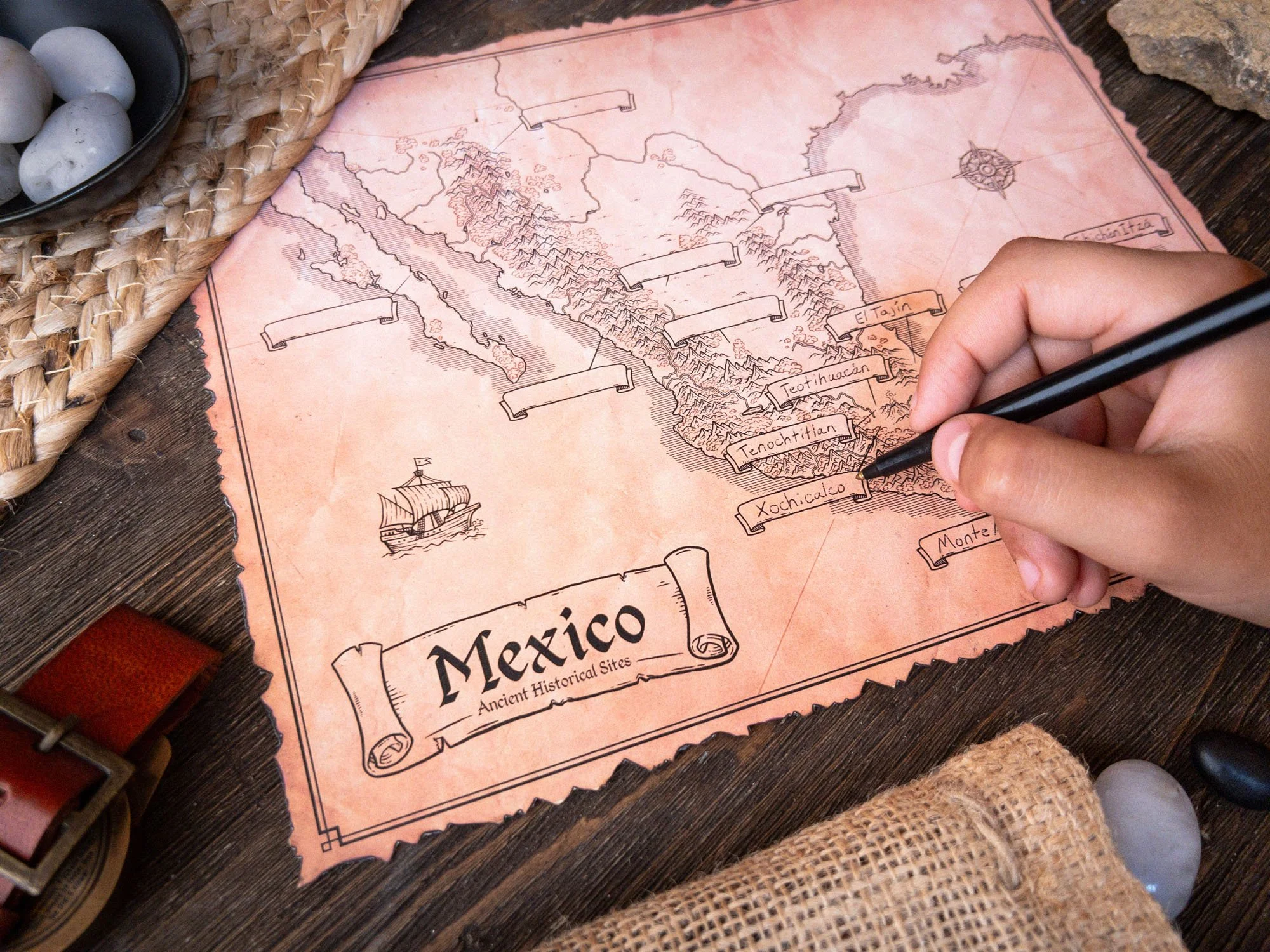
Ancient Historical Sites Map - Blank & Answer Versions
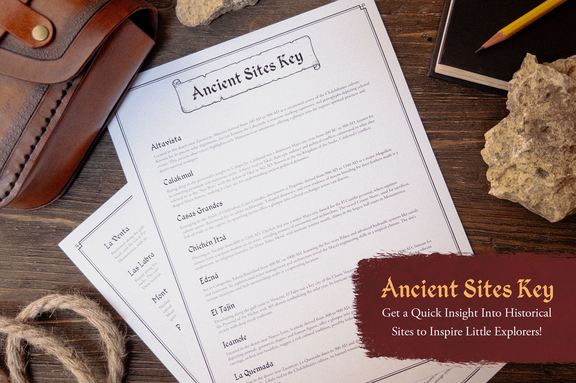
Ancient Historical Sites Descriptions to Inspire Further Learning
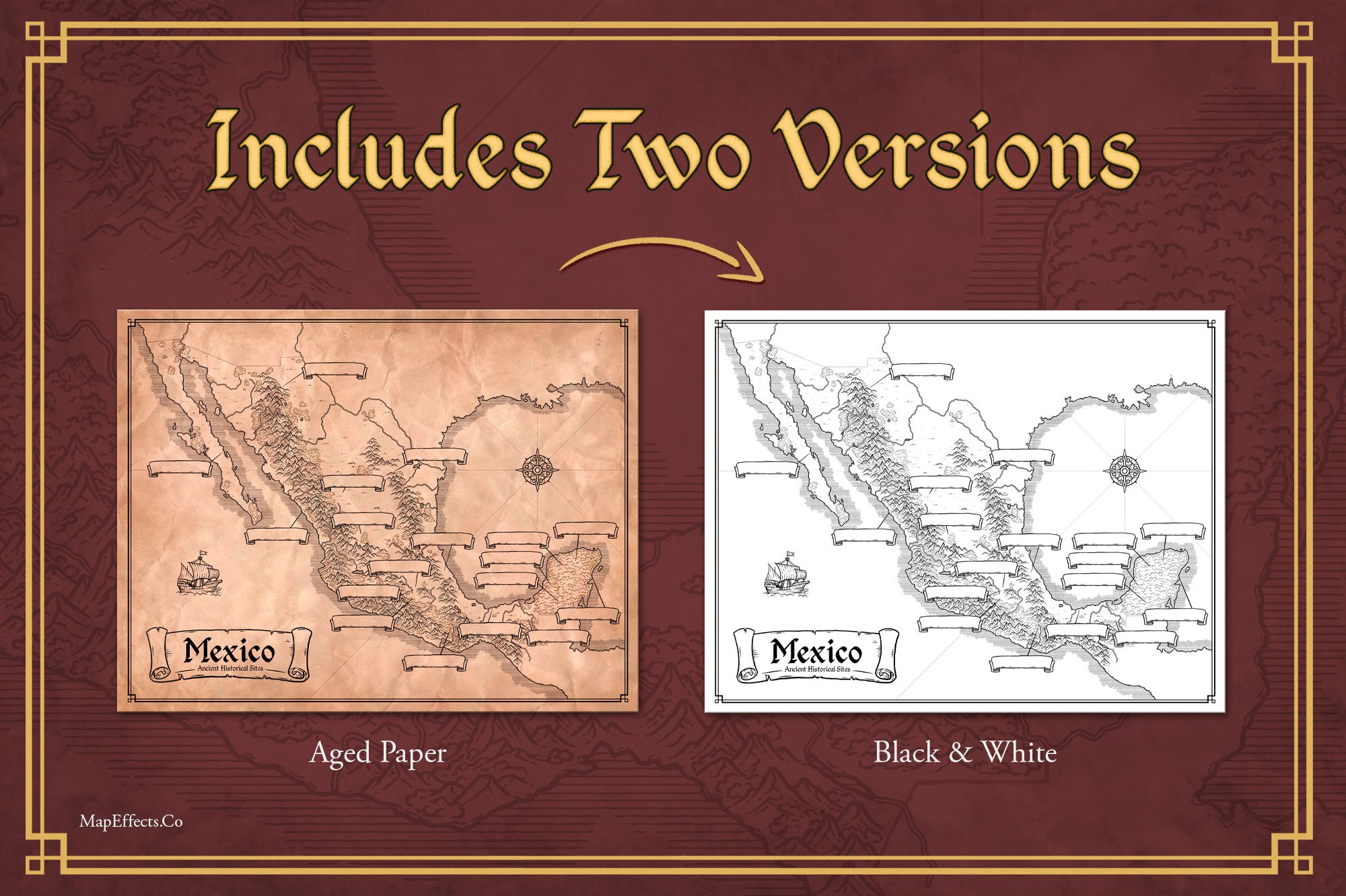
Aged Paper & Black and White Versions of All Maps
Illustrated by Josh Stolarz
This Product is a PDF Download
File Download Size: 258 MB

FAQ
-
You’re free to use these maps for personal use in your own household or within a single classroom setting (like your homeschool or traditional classroom). However, please don’t redistribute or resell the contents of this product in any digital or physical form—keeping it exclusive helps me continue creating resources like this for families like yours!
-